Caitlin
Building a Trail
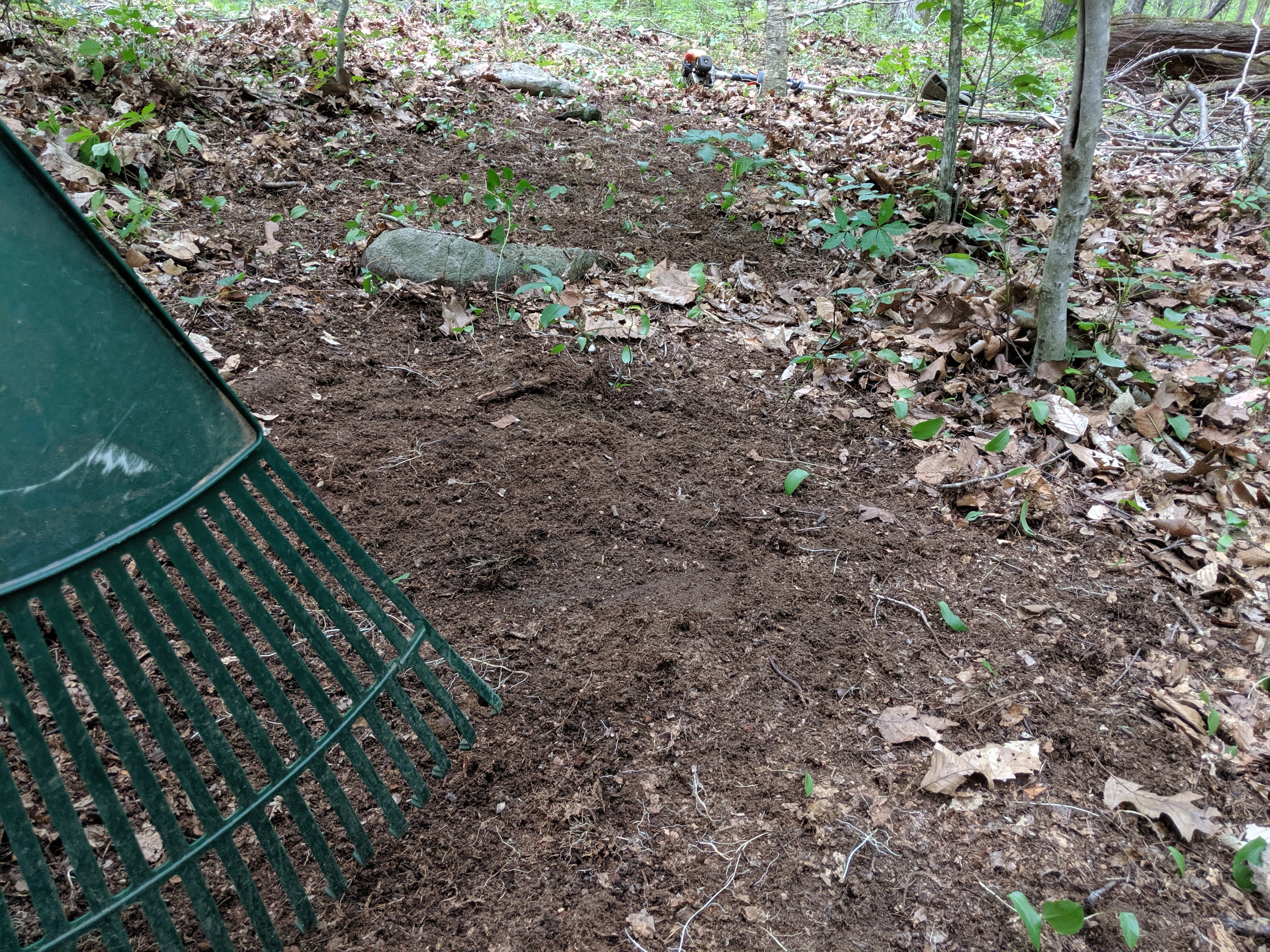
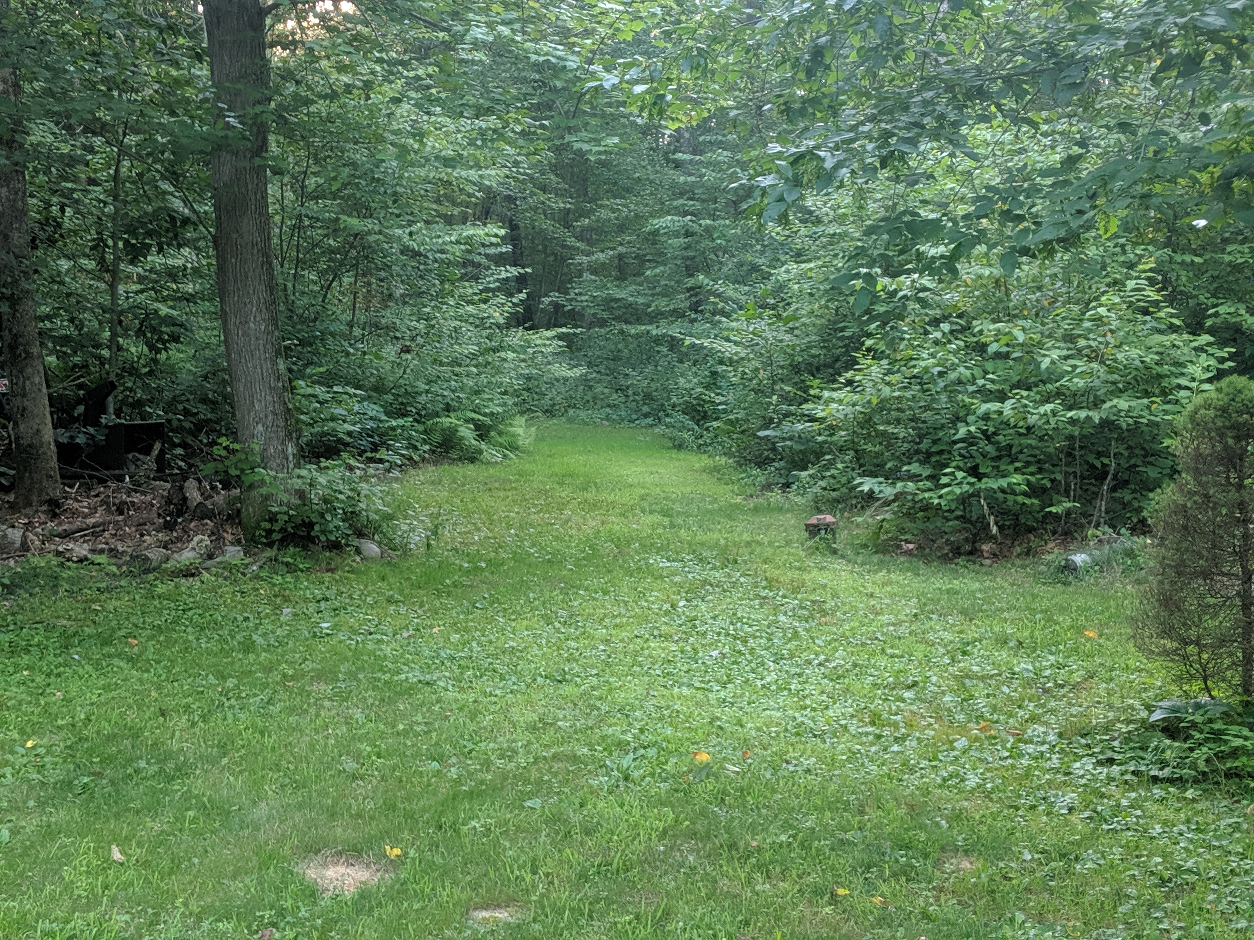
For the past few years I have passivley worked on a trail in the Open Space behind my house. Passive meant slowly walking or biking (lost many tires) as I carve out the most sustainable path. This means thinking about erosion and the general shape of the land.
The Journey
When we bought our house a trailhead jutted out from our property but it only went twenty or thirty feet. After walikng the woods for a few season and learning the open space boundaries I started sticking to the same pattern.

A few years back, probably three I even marked my original trail with tape on trees. The final design has long abandonded that original route. Occasionaly, like the forgotten rock walls of a farming past, I find a marked tree.
https://cdn.glitch.com/a1310c49-d469-4900-be48-bf31fa4223f3%2F00000IMG_00000_BURST20190720184951610_COVER(2).jpg?v=1563664253503" alt="tree with a faded caution tape around it">Over the next year or so I began to walk the trail and look at theteraain. You need to spot places at risk for erosion of fragile ecosystems that you do not want to damage. You need to look up and hope you are aren't planning a path on a tree soon to fall.
I hope to document the last few steps it takes to finish the trail and to share my learning journey here with you. I am finding plenty to explore in a meatphor of instructional design. You have to have tools and time. You need to plan the path but allow divergence based on what you observe. Plus you need to work. A lot.
